
Underground structural mapping and 3D implicit geomodelling
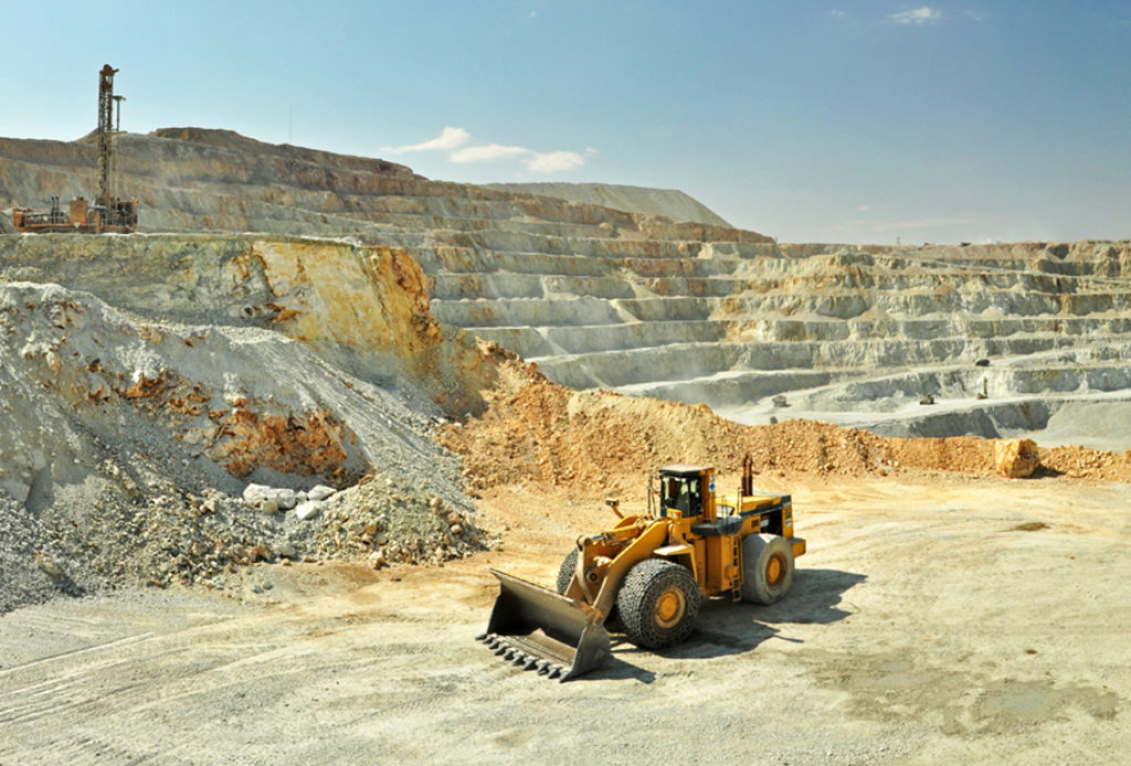
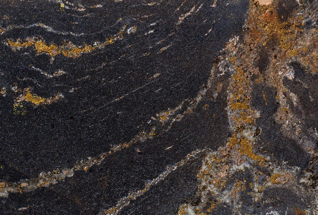
Lubambe Mine is situated in the Cu-Co endowed Zambian Copperbelt. Mining focusses on the Ore Shale Formation, which is a thin, but laterally-continuous package that locally hosts high-grade mineralization. The Ore Shale, which forms part of the well-documented Lower Roan Sub-Group and encompassing Katanga Supergroup, regionally outcrops along the margins of pre-Katanga basement highs or domes. At Lubambe Mine, the Ore Shale rims the southeastern margin of the Konkola Dome, whilst similarly, southeastwards, across a segment of the Konkola-Musoshi Basin, the nearby Konkola Copper Mine targets Ore Shale Formation along the northwestern margin of the Kirilabombwe Dome.
Lubambe’s present underground operation, down to a depth of 550 meters, targets Ore Shale at the base of the Konkola-Musoshi Basin, which is also referred to as the Kawiri Basin. Lubambe’s resource extension area occurs within the deeper parts of the Konkola-Musoshi Basin, down to depths exceeding 1500m. This volume contains a world-class, undeveloped copper resource (JORC-compliant 247 Mt at 3.65% TCu with the potential to contain over 10 Mt of Cu). There remains significant exploration potential due to the vast extent of virtually unexplored Ore Shale at depth.
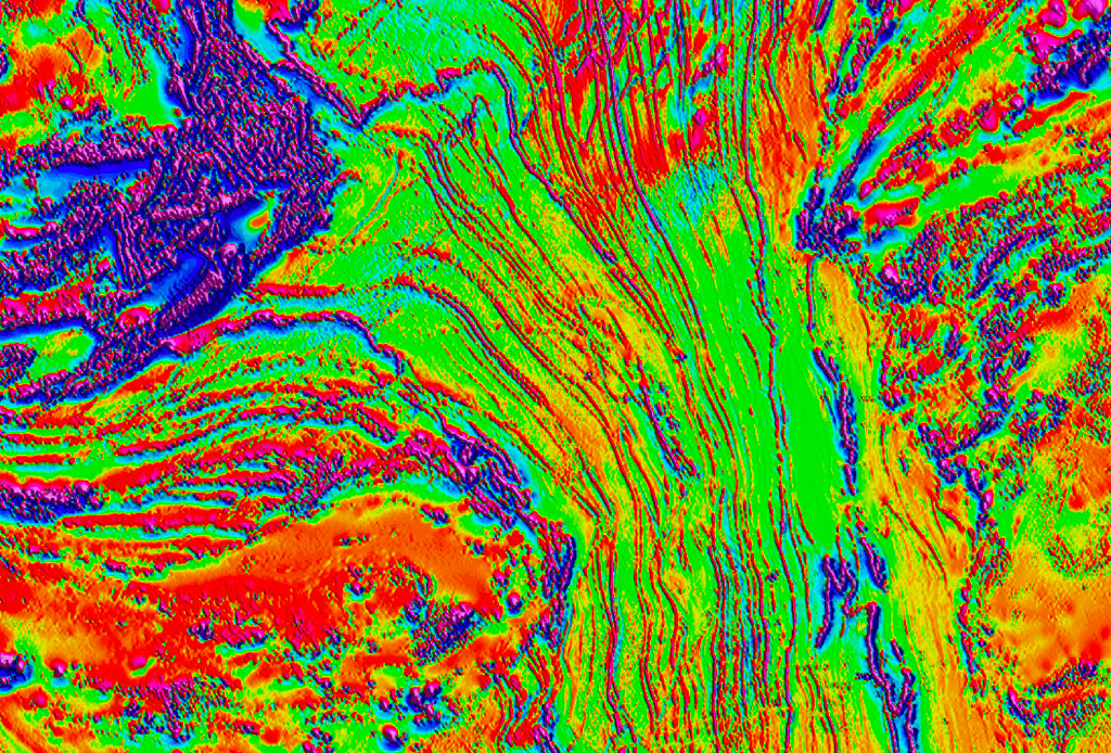
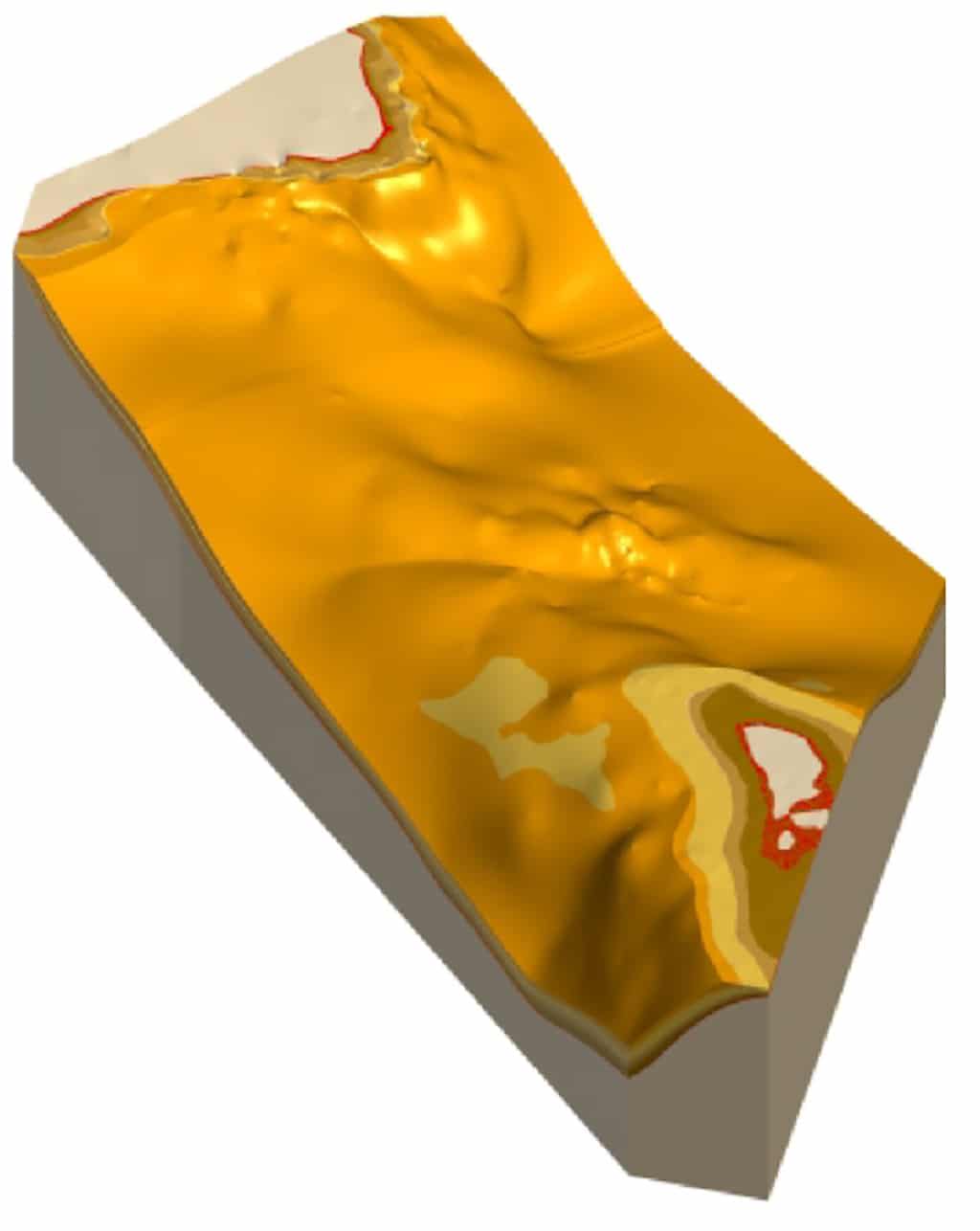
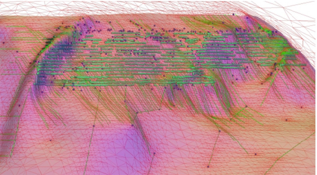
In 2019 Tect, in collaboration with Lubambe geotechnical engineers and geoscientists, lead an underground training and structural line mapping program. This was designed to inform forward kinematic analysis as a basis for the and construction of a fully-constrained 3D geomodel for the main mining area. After completion of this phase, the resultant structural trends, geometries and modelling methodology were expanded into the resource extension area. This benefitted from the integration of license-wide aeromagnetic and radiometric maps, macrostructural core logging data and the products of several detailed 2D seismic surveys conducted by Hisies. The final 3D geomodel has allowed for the re-interpretation the overall mine- to license-scale structural evolution, thereby providing insight into the development of the Konkola-Musoshi Basin and its architecture. The model emphasizes cross-cutting relationships in response to basin-scale tectonic contraction, the development of reverse faults and thrusts, and the development of both disharmonic buckle folds and harmonic folds affecting the Ore Shale Formation.
The 3D geomodel currently informs downstream geotechnical and hydrogeological modelling, resource estimation and exploration targeting. Plans to integrate further data sets and to dynamically increase the model’s resolution are aligned with development of the mine and the exploration of the resource extension area.