Resolving fault networks and variable bedding dips in an extensional sedimentary setting
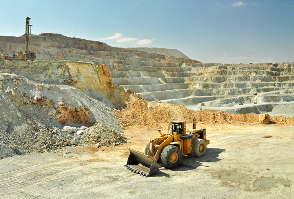
The Geotechnical and Geology Departments on Debswana’s Jwaneng Mine contacted Tect in 2012. Ongoing mining had exposed a series of structures and intrusions, including dolerite dykes/sills and syenite sills, within the mine’s highwalls. The geometry of these intrusions interacted unfavorably with the fault network, and these interactions were furthermore not adequately addressed within existing 3D geological models, which under-represented both the number and complexity of major faults. To adequately address these interactions, a robust geomodel was developed. Accurate delineation of the structural network and the tectonostratigraphic geometry detailed, mine-scale pit mapping to record macrostructures and bedding orientation and geotechnical characterization of structural features.
Tect commenced field mapping in 2013, with ongoing site visits continuing until 2017. Initially, readings were taken using a standard compass-clinometer; however, with the incorporation of robust mobile mapping technologies, Tect Geoscientists adopted mobile mapping devices from the start of the 2015 mapping season. Tect accumulated 2519 structural readings on key structures and bedding planes, thereby augmenting preexisting databases of 2224 Scanline readings by mine Geologists and Geotechnical Engineers, 1484 readings by other consultants and 3222 historical readings on bedding planes. During the same period, an oriented core program was undertaken, in collaboration with StereoCore. This allowed the confirmation of 939 intersections of key structures, which had been interpreted from an extensive downhole ATV/OTV program. The final results of mapping, macro-structural logging of oriented core, Geotechnical logging and the OTV/ATV data interpretation was a cloud of data in 3D space, covering key mining cuts and pushbacks, from which a robust 3D model and structural interpretation was constructed.
Implicit modelling in Leapfrog commenced in 2014, subsequently updated in 2015 with additional data. The resultant model delineates 40 major structures and 21 bedding and joint domains. Furthermore, faults were assigned a rating or ranking, based on a propriety set of criteria that have been developed by Tect over the last two decades, for input into the Geotechnical analysis. This dynamic, implicit model forms the basis for Jwaneng Mine’s ongoing expansion, deepening and slope design of the Cut 9 Project, which will extend the mine’s life by 11 years, to 2035 and allow the extraction of a further 50-million carats. Tect also attended and advised on Geotechnical Review Board (GRB) meetings, to ensure that the implications of the 3D model and its underlying data were optimally incorporated into slope and mine planning.
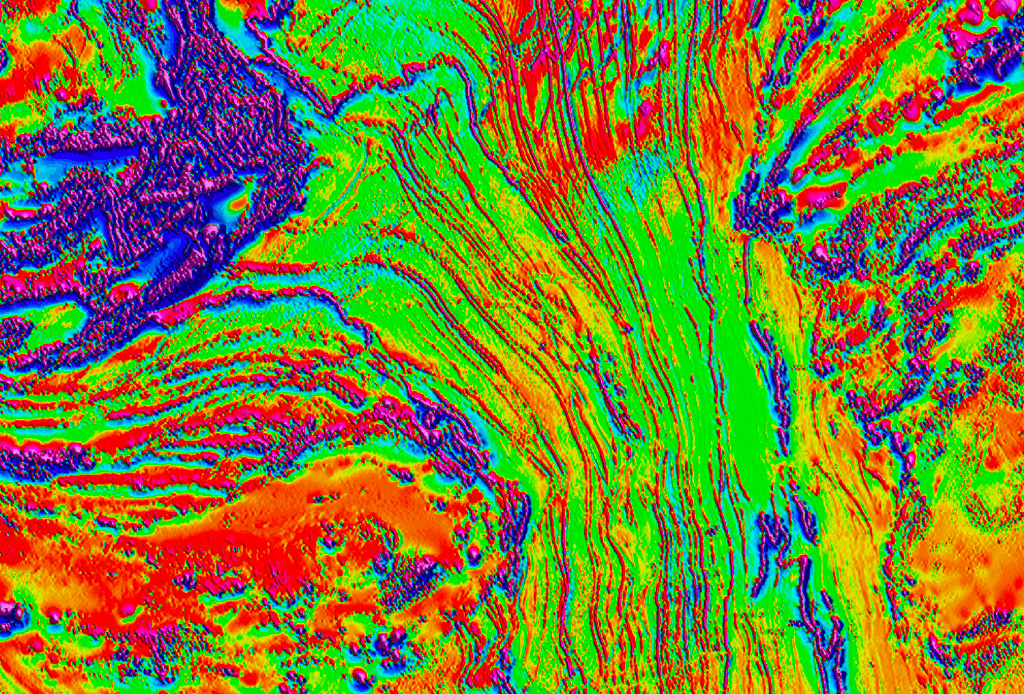
Due to the density and fidelity of data and the high quality of the 3D model, a series of tertiary products were developed for a Cut 8 Fabric Analysis Project. These products included apparent dip maps and a series of block-domained form surfaces that represent the constantly-varying orientation of the main plane of anisotropy (bedding). This analysis resulted in the adoption of a dip-slip mining approach in the mine’s SE corner. The results of Tect’s comprehensive study of Jwaneng mine are published in a series of peer-reviewed articles:
Defining Geotechnical Design Sectors: Apparent Dip Analysis at Jwaneng Mine, Botswana by Ian Basson of Tect, Kabo Gabanakgosi and Oakantse Mogorosi of Jwaneng Mine, Marnus Bester of Kumba and Pieter Creus of Tect in the First Southern African Geotechnical Conference: SAIEG (2016).
Structural analysis and implicit 3D modelling of Jwaneng Mine: Insights into deformation of the Transvaal Supergroup in SE Botswana by Pieter Creus, Ian Basson and Ben Stoch of Tect, Oakantse Mogorosi, Kabo Gabanakgosi, Felix Ramsden and Pitso Gaegopolwe of Jwaneng Mine, in the Journal of African Earth Sciences, 137 (2018).
Please contact us at info info@tect.co.za for more information or to obtain digital copies of these publications.


